

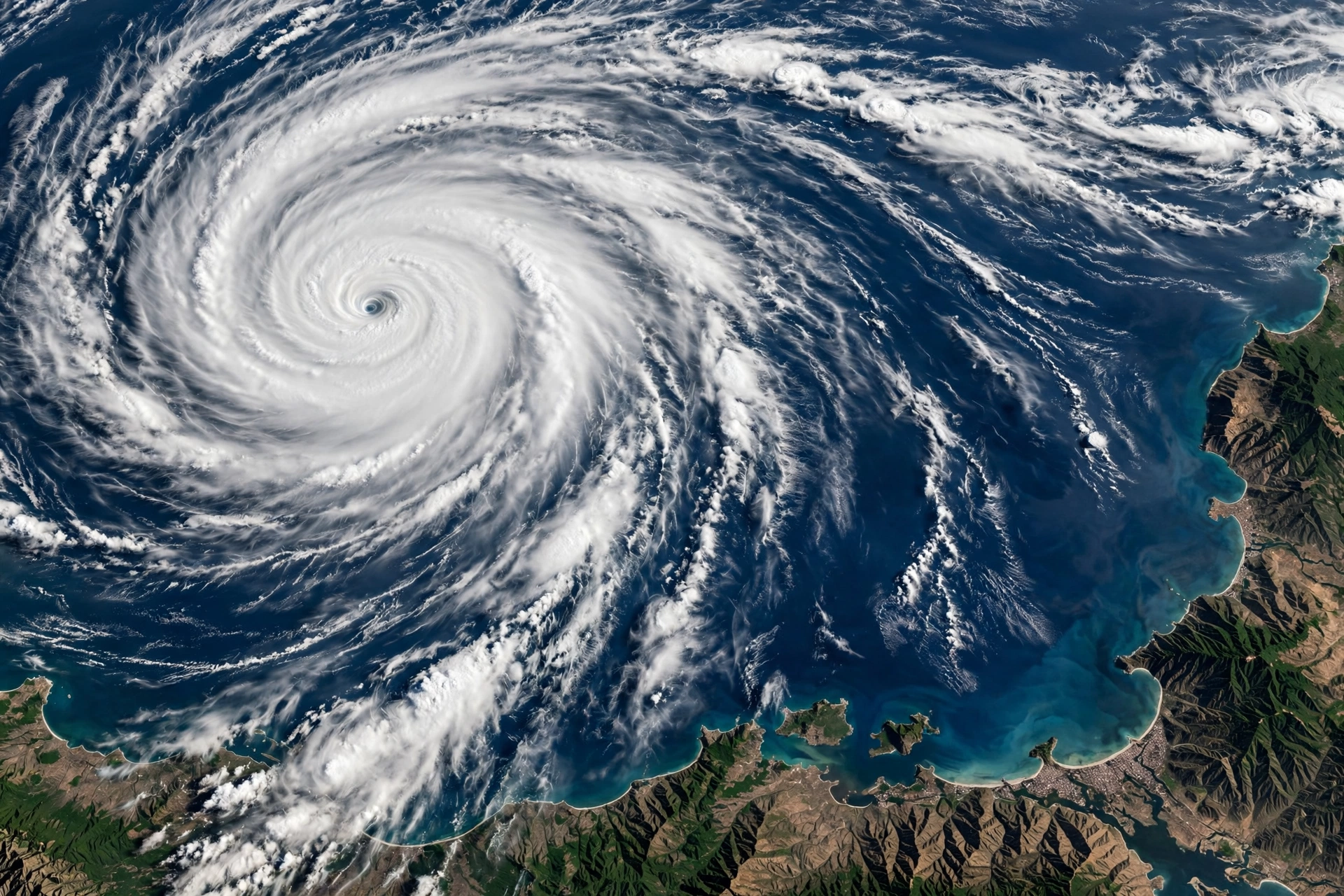
Hurricane Polo went from a tropical storm to a dangerous Pacific hurricane in less than a day — and forecasters warn it is still getting stronger. On the afternoon of Monday, September 21, 2026, the U.S. National Hurricane Center (NHC) confirmed that Tropical Storm Polo had intensified into Hurricane Polo off the southwestern coast of Mexico, with maximum sustained winds of 80 mph (130 km/h). What has everyone watching is the forecast: Hurricane Polo is expected to become a major hurricane by Tuesday, September 22, and could reach Category 5 strength with 160 mph winds by late Tuesday. Even though the storm’s core is expected to stay offshore, its tropical moisture is already raising flash-flood alarms in the U.S. Southwest beginning Tuesday.
This guide breaks down everything we know about Hurricane Polo — its path, the Category 5 forecast, which Mexican states face life-threatening flooding and mudslides, the New Mexico and Southwest flood threat, a day-by-day timeline, and a practical safety checklist for anyone in the storm’s path.
Key Facts: Hurricane Polo (September 2026)
- Storm: Hurricane Polo — became a Category 1 hurricane on Sept 21, 2026
- Winds at landfall report: 80 mph (130 km/h), rapidly intensifying
- Forecast: Major hurricane by Tuesday Sept 22; possibly Category 5 (160 mph) by late Tuesday
- Location (Sept 21, 1800 GMT): 270 miles (435 km) south-southeast of Manzanillo, Mexico; 190 miles (305 km) south-southwest of Zihuatanejo
- Rainfall through Thursday: 4–8 inches (100–200 mm) across coastal Guerrero and Michoacán, isolated totals up to 12 inches (300 mm); 3–6 inches (75–150 mm) in Oaxaca, Colima, and Jalisco
- Main threats: Life-threatening flash flooding and mudslides, dangerous surf and rip currents, tropical-storm-force winds near the Mexican coast
- U.S. impact: Tropical moisture pushing north — flash-flood threat in New Mexico and the Southwest beginning Tuesday
- Watch area: Tropical Storm Watch from Tecpan de Galeana to Punta San Telmo, Mexico
What Is Hurricane Polo? Key Facts About the 2026 Pacific Storm
Hurricane Polo is the latest in a busy and unusually powerful 2026 Pacific hurricane season. Polo formed as a tropical storm late Sunday, September 20, off southwestern Mexico and strengthened into a hurricane by Monday afternoon — a rapid intensification that caught the attention of the National Hurricane Center and news outlets across North America.
The storm is moving through one of the warmest stretches of the eastern Pacific, which is exactly what supercharged storms need to explode in strength. Fox Weather reported that the Pacific basin is currently experiencing a rapidly strengthening El Niño that has already produced 18 named storms across the Central and Eastern Pacific, with more than two months of hurricane season still remaining. Polo is riding that wave of tropical energy — and forecasters say its strengthening phase is not over yet.
At 1800 GMT (mid-day local time) on September 21, the National Hurricane Center placed Polo about 270 miles south-southeast of the port city of Manzanillo and 190 miles south-southwest of the tourist town of Zihuatanejo, packing maximum sustained winds of 80 mph. Tropical-storm-force winds extended outward as far as 70 miles (110 km) from the center, and the NHC noted that the wind field is expected to expand substantially as the cyclone strengthens.
Hurricane Polo Path and Forecast Track
The official NHC forecast keeps Hurricane Polo’s core offshore, but that single word — offshore — deserves some careful reading. The agency itself has said it is still too early to determine the exact location or magnitude of coastal impacts, and there is a large spread among track models about how close Polo will ultimately swing to the mountainous southwestern coast of Mexico.
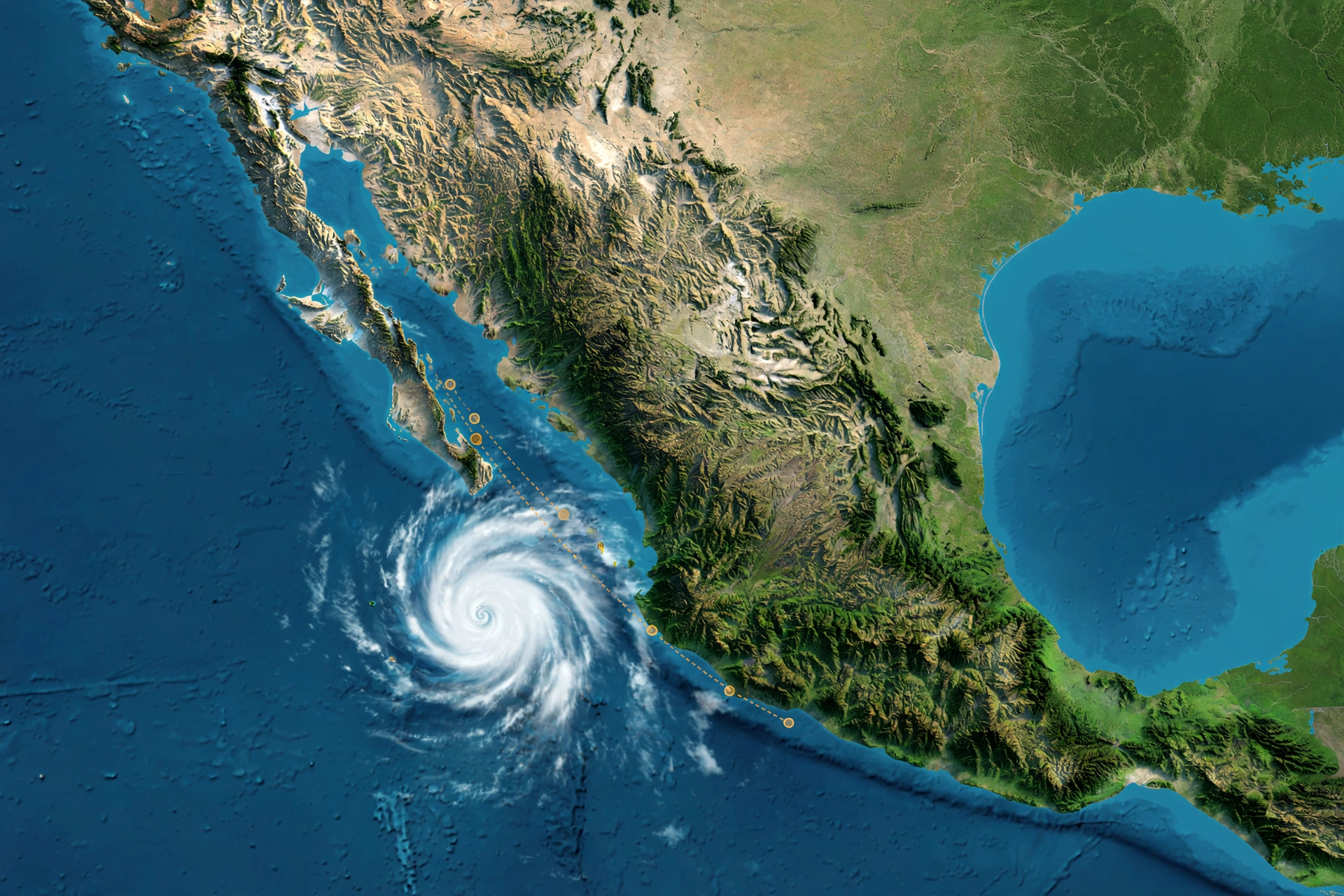
Here is the forecast track as of Monday, September 21:
- Monday afternoon (Sept 21): Polo reaches Category 1 hurricane strength off southwestern Mexico, moving north-northeast at about 8 mph (13 km/h).
- Tuesday (Sept 22): Forecast to become a major hurricane (Category 3+) — with some guidance pushing it all the way to Category 5, with 160 mph winds by late Tuesday.
- Midweek: Continued strengthening expected through midweek as Polo tracks closer to the coast of Guerrero and Michoacán. A Tropical Storm Watch covers the coast from Tecpan de Galeana to Punta San Telmo, with the NHC saying the watch area would likely be extended westward.
- Thursday and beyond: The storm’s tropical moisture streams north into the U.S. Southwest, raising flash-flood risks in New Mexico and surrounding areas. Effects toward Southern California would not arrive until the end of the coming weekend at the earliest.
Residents in southwestern Mexico should closely monitor Polo’s progress and updates to the official forecast, the hurricane center advised — the exact distance the storm keeps from the coast will decide how severe the flooding gets.
Rainfall, Flooding, and Wind Threats in Mexico
With Hurricane Polo, wind is only part of the story. The much bigger and deadlier threat is water — torrential rainfall, flash flooding, mudslides, and dangerous seas.

According to the National Hurricane Center, coastal portions of Guerrero and Michoacán could receive 4 to 8 inches (10 to 20 cm) of rain through Thursday, with isolated totals of up to 12 inches (30 cm) — a volume that can trigger life-threatening flooding and mudslides, particularly in steep, mountainous terrain. Coastal portions of Oaxaca, Colima, and Jalisco are forecast to receive 3 to 6 inches (75 to 150 mm) through Thursday.
AccuWeather warned that Polo’s reach could extend toward tourist hubs including Acapulco, Puerto Vallarta, and Guadalajara, while southern Baja California Sur — including the Los Cabos area — could see rough surf and strong gusts later in the week. Mexico’s federal authorities have already reinforced preparedness measures across Jalisco, Colima, and Michoacán.
Swells generated by Polo were expected to begin reaching parts of southwestern Mexico on Tuesday. The NHC warned that the increasing swell will produce dangerous surf and rip-current conditions along portions of the coast — a serious hazard for beachgoers and fishing communities even in areas that never see the storm’s strongest winds.
Tropical Storm Polo was located about 395 kilometres south of Manzanillo and 340 kilometres south-west of Zihuatanejo at 3:00 am CST on September 21, with maximum sustained winds near 75 km/h at the time, moving north-east at around 13 km/h. Within hours, it had strengthened into a hurricane — and it kept going from there.
Hurricane Polo and the U.S. Southwest Flood Threat
Even though Hurricane Polo is forecast to stay offshore in the Pacific, Americans far from the coast need to pay attention too. Forecasters say Polo’s tropical moisture will stream north through the rest of the week, raising the flash-flood threat across the U.S. Southwest beginning Tuesday.

The National Hurricane Center and Fox Weather both flagged the same concern: while the hurricane itself stays off Mexico, its moisture plume is expected to enhance a dangerous flood setup over New Mexico. Flood warnings in New Mexico could begin as early as Tuesday, and residents across the desert Southwest should treat this like a serious monsoon-style event — tropical moisture over dry, burn-scarred terrain is a classic flash-flood recipe.
For Southern California, the timing is later. What a NHC meteorologist told the Los Angeles Times, according to the New York Post, is that any effects from Hurricane Polo likely would not reach Southern California until the end of this weekend at the earliest. That gives SoCal residents time to prepare — and it follows a rough recent stretch for the region: just weeks earlier, Hurricane Marie battered the state with coastal flooding and high tides.
If you are tracking tropical weather threats along the U.S. coasts this season, our Nor’easter Storm Guide covers a different kind of coastal storm — a developing Northeast coastal storm with high surf and flooding risks — and many of the same preparedness principles apply.
Timeline: Hurricane Polo’s Rapid Intensification
- Late Sunday, September 20: Tropical Storm Polo forms off southwestern Mexico amid an El Niño-supercharged Pacific.
- Monday morning, September 21 (09:00 CST advisory): Guidance shifts slightly south; official NHC track adjusted. Tropical Storm Watch in effect from Tecpan de Galeana to Punta San Telmo.
- Monday afternoon, September 21: Polo intensifies into Hurricane Polo (Category 1, 80 mph). Located 270 miles south-southeast of Manzanillo, 190 miles south-southwest of Zihuatanejo.
- Tuesday, September 22: Forecast to become a major hurricane; possibly reaching Category 5 with 160 mph winds by late Tuesday. Southwest U.S. flood threat begins (New Mexico flood warnings possible).
- Wednesday–Thursday: Heaviest rainfall period for coastal Guerrero, Michoacán, Oaxaca, Colima, and Jalisco — up to 12 inches locally.
- End of the weekend: Earliest arrival of any Polo effects in Southern California, per NHC guidance.
Hurricane Polo Safety Checklist: How to Prepare
Hurricanes and their floodwaters kill more people through water than wind. Whether you are on Mexico’s Pacific coast or in the U.S. Southwest, here is a practical Hurricane Polo preparedness checklist:
- Know your zone. If you are between Tecpan de Galeana and Punta San Telmo on Mexico’s Pacific coast, you are inside the current Tropical Storm Watch. Watch areas can be extended westward — check NHC updates frequently.
- Never drive through floodwater. Just 6 inches of fast-moving water can knock you down; 12 inches can sweep a car away. Turn around, don’t drown — this applies in New Mexico desert washes just as much as on the Mexican coast.
- Secure outdoor items and boats. Dangerous surf and rip currents are expected along southwestern Mexico starting Tuesday, with tropical-storm-force gusts possible near the coast.
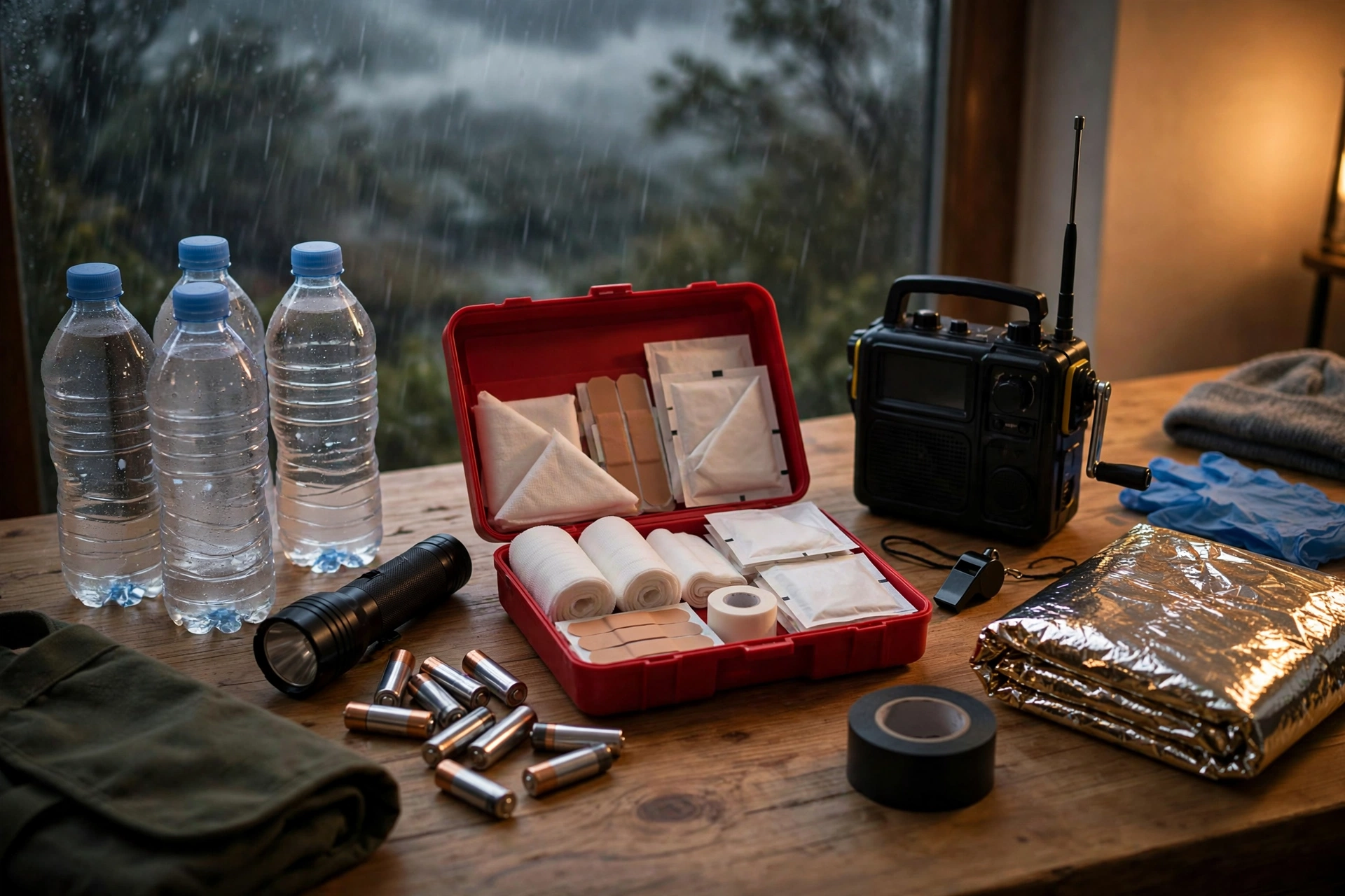
- Prepare a 72-hour kit. Water (one gallon per person per day), nonperishable food, medications, flashlights, batteries, chargers, important documents in a waterproof bag, and cash.
- Mudslide awareness. In Guerrero, Michoacán, and other steep-terrain states forecast to get up to 12 inches of rain, mudslides can strike with little warning. Know the warning signs: rumbling sounds, cracking trees, sudden changes in stream water.
- Travelers: Expect slower resort transfers, flooded local roads, canceled marine excursions, and changing airport connection conditions in Guerrero, Michoacán, Colima, and Jalisco this week. Reconsider nonessential beach travel.
- U.S. Southwest residents: Watch National Weather Service flash-flood watches beginning Tuesday. Do not hike slot canyons or camp in dry washes during tropical-moisture events.
What About Hawaii and the Atlantic?
Polo is not the only Pacific story this week. The remnants of Tropical Depression Fifteen-E, located several hundred miles east-southeast of the Hawaiian Islands, are showing increased showers and thunderstorms. The NHC says conditions are becoming more conducive for development, and a tropical depression is likely to form south or southeast of Hawaii by the middle to latter part of this week — potentially bringing heavy rainfall to the eastern portions of the state. Flood watches will likely soon be hoisted for the Big Island and possibly Maui.
In the Atlantic, the news is calmer: the former Tropical Storm Fay is fading away as the week moves forward, ending its threat. The NHC is currently monitoring four areas of tropical activity across the Pacific, including Polo — an unusually active setup driven by the rapidly strengthening El Niño.
Frequently Asked Questions About Hurricane Polo
When did Hurricane Polo form?
Hurricane Polo formed as Tropical Storm Polo late Sunday, September 20, 2026, off southwestern Mexico. It intensified into a Category 1 hurricane on Monday afternoon, September 21, with maximum sustained winds of 80 mph (130 km/h).
Will Hurricane Polo become a Category 5 storm?
It is possible. The National Hurricane Center forecasts Polo to become a major hurricane by Tuesday, September 22, and the New York Post reported NHC guidance showing Polo reaching Category 5 with 160 mph winds by late Tuesday. Rapid intensification in warm El Niño waters makes further strengthening likely, though the exact peak strength remains uncertain.
Will Hurricane Polo hit the United States?
The storm’s core is forecast to stay offshore in the Pacific, but its tropical moisture is expected to stream north and enhance the flash-flood threat across the U.S. Southwest — especially New Mexico — beginning Tuesday. Any direct effects in Southern California would not arrive until the end of the weekend at the earliest.
Which parts of Mexico are most at risk from Hurricane Polo?
Coastal Guerrero and Michoacán face the highest rainfall — 4 to 8 inches through Thursday, with isolated totals up to 12 inches, bringing life-threatening flooding and mudslides. Oaxaca, Colima, and Jalisco are forecast to get 3 to 6 inches. A Tropical Storm Watch covers the coast from Tecpan de Galeana to Punta San Telmo. Tourist areas including Acapulco, Puerto Vallarta, Guadalajara, and Los Cabos could see rough surf and strong gusts.
How is Hurricane Polo connected to El Niño?
The 2026 Pacific hurricane season is being supercharged by a rapidly strengthening El Niño, which warms eastern Pacific waters and provides extra fuel for tropical cyclones. The Central and Eastern Pacific have already produced 18 named storms combined this season, with more than two months remaining — and Hurricane Polo is one of the strongest yet.
Is Hurricane Polo related to Hurricane Marie?
Not directly — they are separate storms. But the connection is real for Southern California: Hurricane Marie battered the state with coastal flooding and high tides just weeks before Polo formed, so the region is already waterlogged and vulnerable as Polo’s moisture heads north.
Where can I get official Hurricane Polo updates?
The official source is the U.S. National Hurricane Center (nhc.noaa.gov), which issues full advisories, forecast discussions, and forecast tracks every six hours. Local Mexican civil protection authorities and the U.S. National Weather Service are the authorities for watches, warnings, and flood alerts.

Conclusion: A Storm Still on the Rise
Hurricane Polo’s story is not finished — and that is exactly why it is worth watching closely. A storm that went from tropical storm to hurricane in one afternoon, with a forecast calling for major-hurricane status by Tuesday and a possible Category 5 peak, is the textbook definition of a rapidly intensifying cyclone. Add 12 inches of potential rainfall in steep Mexican terrain, dangerous surf along resort coastlines, and a tropical-moisture pipeline pointed at the U.S. Southwest, and Hurricane Polo becomes one of the most consequential Pacific storms of the 2026 season so far.
We will continue to monitor official NHC advisories as Polo develops. Stay safe, stay informed, and never underestimate water — it remains the deadliest part of any hurricane.
More from Events Day
Sources
- Fox Weather — Polo to rapidly intensify into major hurricane and fuel Southwest flood threat (Sept 21, 2026)
- Reuters — Polo strengthens into hurricane, threatening Mexico’s Pacific resort towns (Sept 21, 2026)
- New York Post — ‘Very dangerous’ hurricane forming in the Pacific Ocean heading to SoCal (Sept 21, 2026)